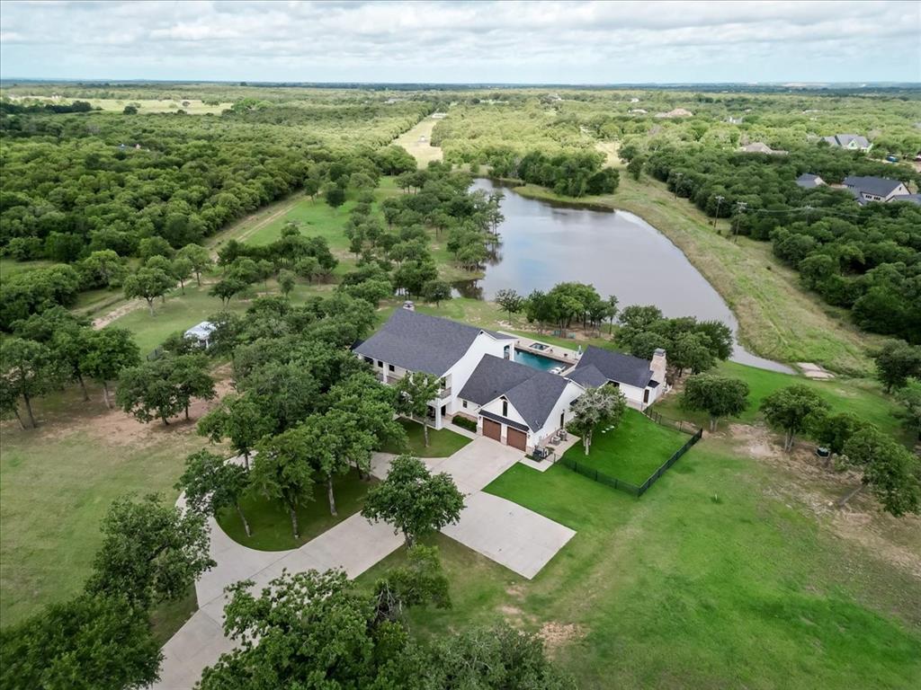
 Active
Lipan, TX
1340 Lacy Drive
$4,495,000- 5 beds
- 4,400 sq ft
- 50 acres
Listed by: Stephen Reich from Williams Trew Real Estate
Parker County sits immediately west of Fort Worth. Its property settings range from established city neighborhoods and I-20 commercial corridors to horse property, working land and smaller rural communities. Use this hub to compare the published community guides, then verify the exact address.
Live MLS results matched by county. Listing addresses do not establish municipal limits or school attendance boundaries.
ActiveLipan, TX
Listed by: Stephen Reich from Williams Trew Real Estate
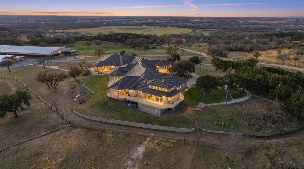 Active
Weatherford, TX
Listed by: Stephen Reich from Williams Trew Real Estate
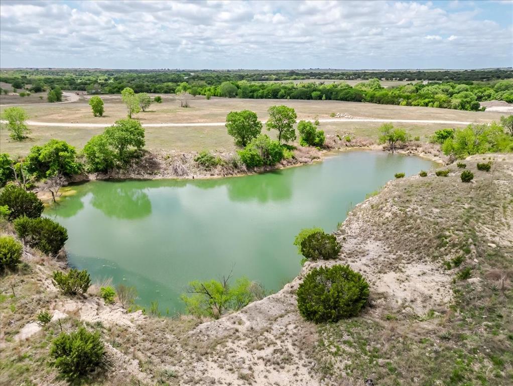 Active
Weatherford, TX
Listed by: Stephen Reich from Williams Trew Real Estate
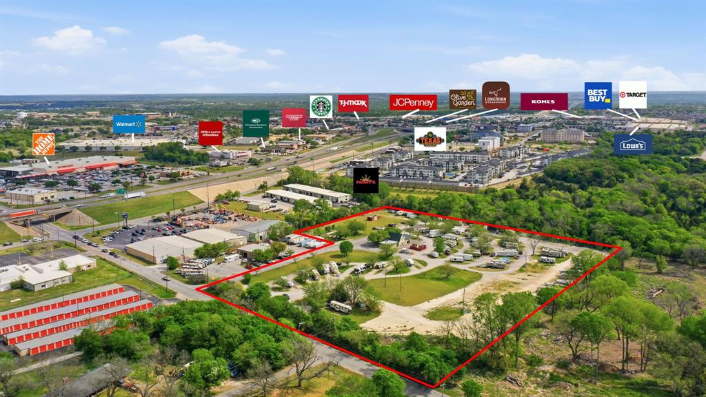 Active
Weatherford, TX
Listed by: Stephen Reich from Williams Trew Real Estate
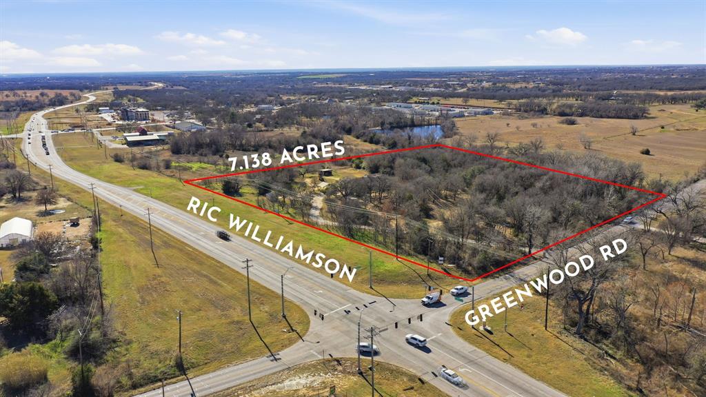 Active
Weatherford, TX
Listed by: Stephen Reich from Williams Trew Real Estate
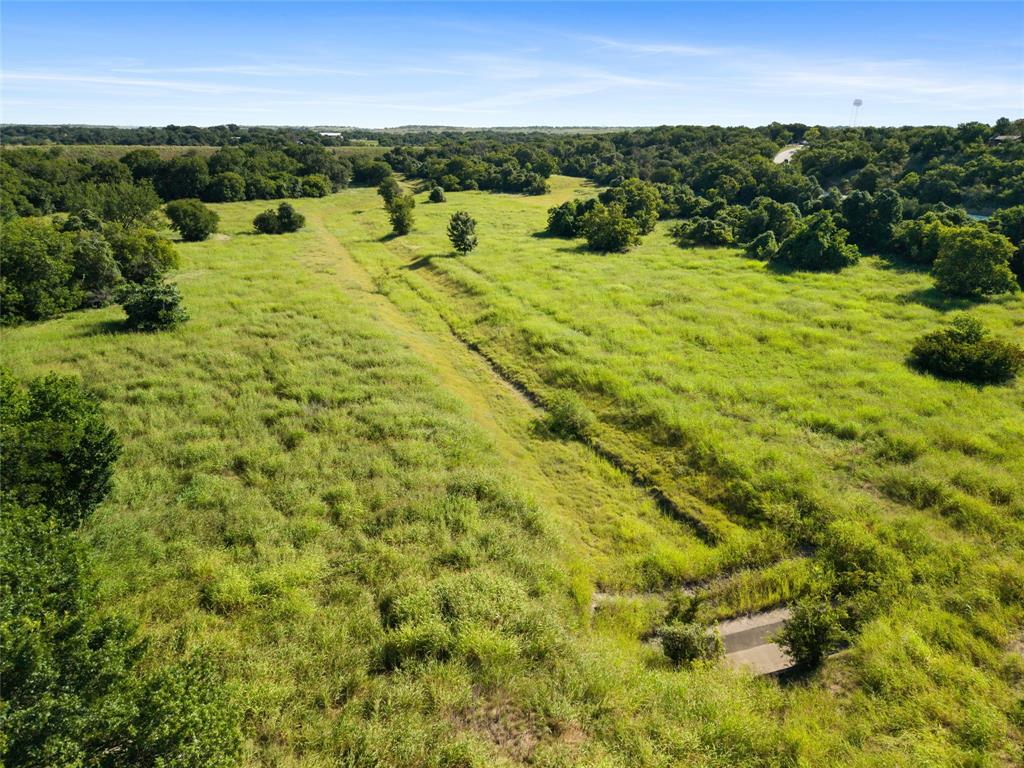 Active Under Contract
Willow Park, TX
Listed by: Stephen Reich from Williams Trew Real Estate

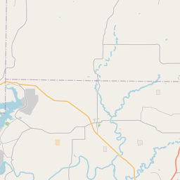
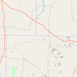
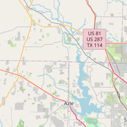
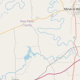
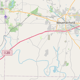
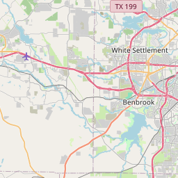
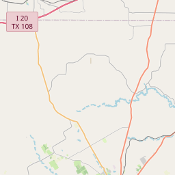
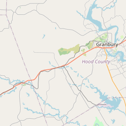
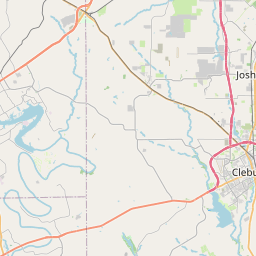

The county boundary is shown over a cached OpenStreetMap base. Community, school, ZIP, utility and property boundaries do not automatically match it.
Map data © OpenStreetMap contributors. Boundary data and FEMA results are cached for this guide; reviewed July 26, 2026.
County data describes Parker County as a whole. Each child guide narrows the geography to a city, town or clearly labeled community context. School assignment, utilities, zoning, access and flood questions still need an exact-address check.
This guide does not publish school rankings, safety claims, invented commute times or static listing prices.
Source: U.S. Census Bureau TIGERweb ↗County seat · city services · mixed property types
Open guide ↗02East-county growth · homes · new construction · acreage
Open guide ↗03Three municipalities · large lots · rural residential
Open guide ↗04Town and ISD identity · acreage · horse property
Open guide ↗05Compact city · homes · I-20 and US 180 corridor
Open guide ↗06Western Parker County · small town · land and acreage
Open guide ↗07Small town and ISD · acreage · rural infrastructure
Open guide ↗08Unincorporated ZIP and ISD context · land and acreage
Open guide ↗09North-county city · homes · land · SH 199
Open guide ↗10East-county city · homes · I-20 access
Open guide ↗11Cross-county city · Palo Pinto and Parker counties
Open guide ↗12Cross-county city · includes portions of Parker County
Open guide ↗U.S. Census Bureau Vintage 2025 estimate; the estimate covers the whole county.
Source: Census QuickFacts ↗County data describes Parker County as a whole. Each child guide narrows the geography to a city, town or clearly labeled community context. School assignment, utilities, zoning, access and flood questions still need an exact-address check.
Source: U.S. Census Bureau TIGERweb ↗District lines cross city and ZIP boundaries. Confirm the exact address with the district.
Source: Parker County school districts ↗The useful route depends on the property and daily destination. No static commute time is promised.
Source: TxDOT county maps ↗NWS Fort Worth 1991–2020 normals provide regional context, not a forecast for one property.
Source: National Weather Service ↗Air quality changes by place and date. This guide links AirNow instead of freezing one AQI number.
Source: AirNow ↗Aledo, Willow Park, Hudson Oaks and the Annetta communities sit closer to the Fort Worth side of the county, but their city, ISD and mailing boundaries are not interchangeable.
Weatherford is the county seat and the main established city guide. In-city services and county-address conditions need separate checks.
Springtown, Peaster and Poolville bring more land and rural-infrastructure questions into the search.
Millsap and Brock are different small-community markets where access, water, improvements and property use deserve early attention.
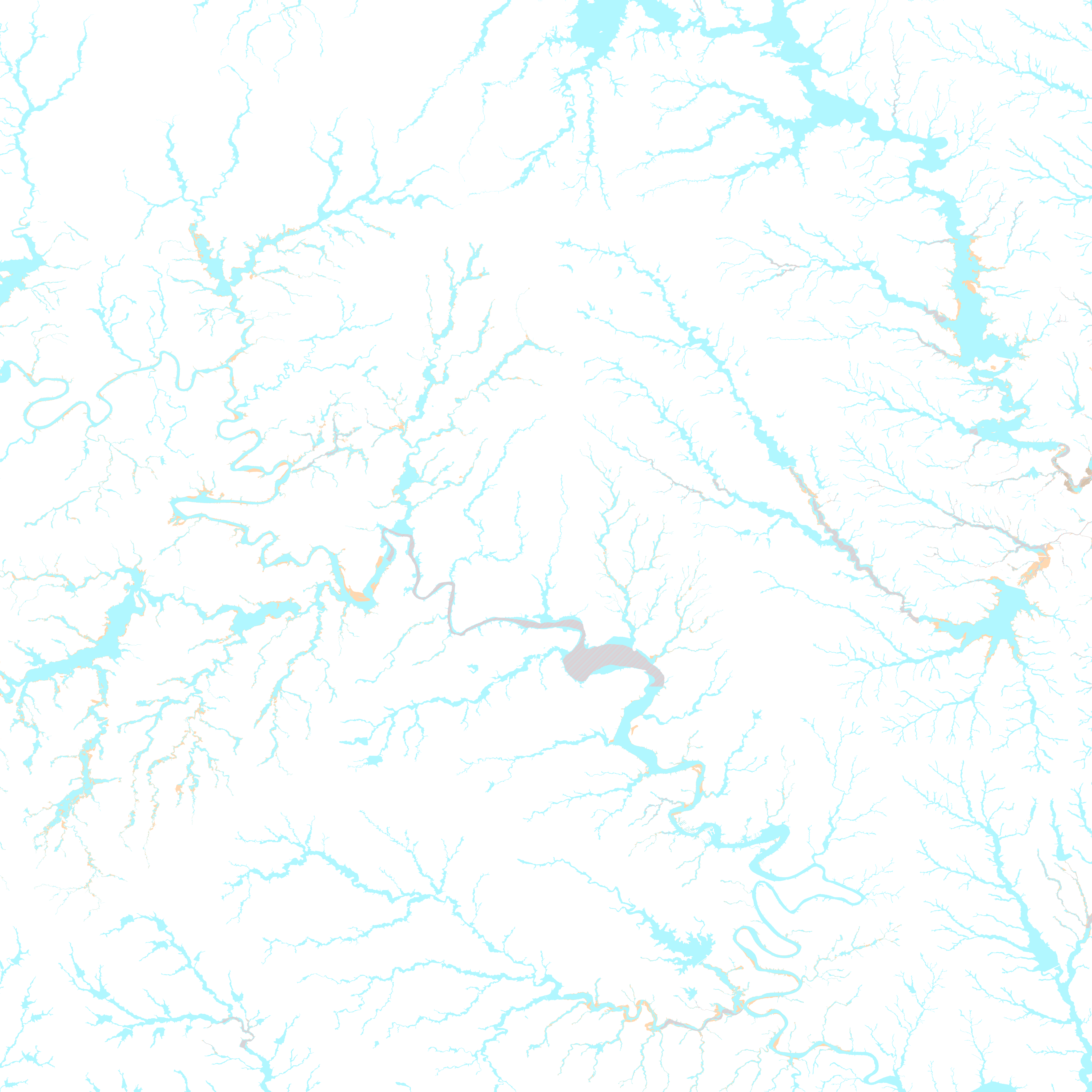
The map shows cached FEMA National Flood Hazard Layer polygons for orientation. Coverage varies; unshaded land is not a determination of low flood risk. Confirm the parcel, effective panel, insurance implications, drainage and any site-specific study during due diligence.
Open FEMA Map Service Center ↗About the NFHL ↗The county list confirms incorporated Parker County municipalities. It does not define ZIP or school territory.
Open source ↗Use the county district list to find the right authority, then confirm the parcel with that district.
Open source ↗TxDOT county maps help orient state highways, farm roads and local connections without promising a commute.
Open source ↗Sources and copy reviewed July 26, 2026. Recheck boundaries, school information and public data before production launch.
The county page is the comparison layer. Open a community guide for a narrower boundary, then move to the property record for the final answer.
Start with property type, daily routes, acreage, utilities and the exact school or service needs. The community directory shows where each guide is most useful.
No. The county includes cities, suburbs, commercial corridors, smaller towns and rural land.
Not necessarily. Mailing city, city limit, county, school district and utility territory can describe different geographies.
Ask the relevant district to confirm the current attendance boundary and enrollment information for the exact address.
No. The FEMA overlay is an early research aid. Verify the parcel, effective panel, insurance implications and any site-specific study during due diligence.
First-hand reviews from clients Stephen has represented.
Stephen has represented both myself and my family as both a buyer’s agent and seller’s agent on numerous real estate transactions. He goes above and beyond what is required…
0102
Share the address, property type, timing and the question the map or listing cannot answer.