 Active
Peaster, TX
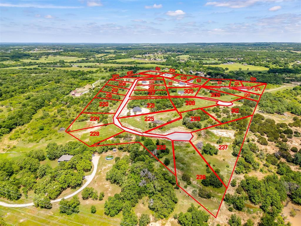
1576 Adell Circle
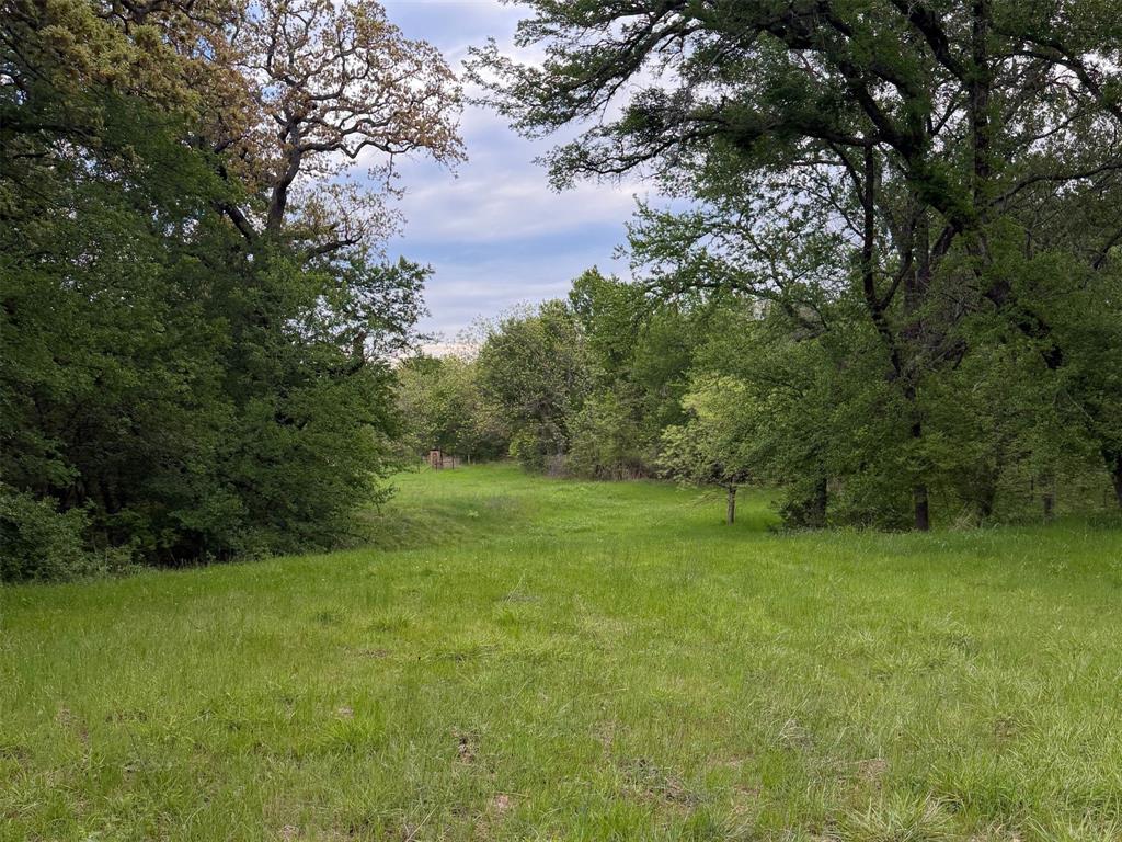
$500,000- 18.654 acres
Listed by: Chris Laghezza from Exp Realty, Llc
Peaster is a small incorporated town and school-community identity northwest of Weatherford. Home and acreage searches can extend beyond the town limit, so verify the parcel’s municipal status, district, access, water, septic and utilities instead of relying on the community name.
Live MLS results matched by listing city name. Listing addresses do not establish municipal limits or school attendance boundaries.
ActivePeaster, TX
Listed by: Chris Laghezza from Exp Realty, Llc
 Active
Peaster, TX
Listed by: Phillip Sanders from The Platinum Group Re, Llc
 Active
Peaster, TX
Listed by: Lisa Bransom Wright from Re/max Associates Of Arlington
 Active
Peaster, TX
Listed by: Phillip Sanders from The Platinum Group Re, Llc
 Active
Peaster, TX
Listed by: Lisa Bransom Wright from Re/max Associates Of Arlington
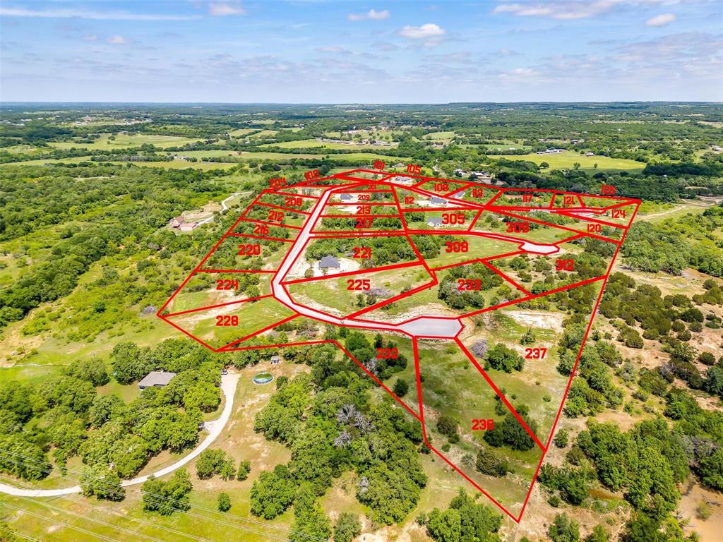 Active
Peaster, TX
Listed by: Lisa Bransom Wright from Re/max Associates Of Arlington

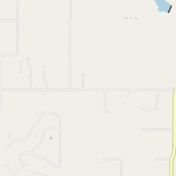
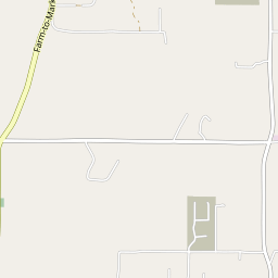
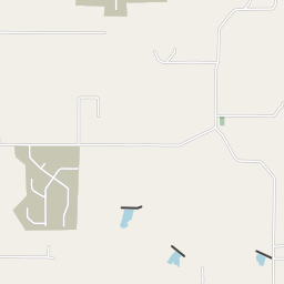
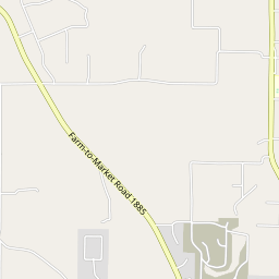
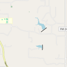
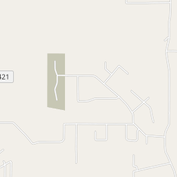
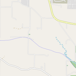
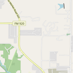
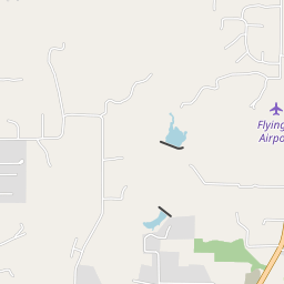


The current Census town boundary is shown. The Peaster ISD and address identities extend farther.
Map data © OpenStreetMap contributors. Boundary data and FEMA results are cached for this guide; reviewed July 26, 2026.
Use the town limit for municipal status and the district for school questions. Wells, septic, utilities, road access, restrictions and flood conditions require property-level review.
This guide does not publish school rankings, safety claims, invented commute times or static listing prices.
Source: Census TIGERweb incorporated places ↗U.S. Census Bureau Vintage 2025 town estimate.
Source: Census Vintage 2025 ↗Use the town limit for municipal status and the district for school questions. Wells, septic, utilities, road access, restrictions and flood conditions require property-level review.
Source: Census TIGERweb incorporated places ↗Confirm the district and current campus assignment for the exact address.
Source: Peaster ISD ↗The town identifies FM 920 as its main route. Check frontage, easements and road conditions for each property.
Source: Town of Peaster ↗NWS Fort Worth 1991–2020 normals provide regional context, not a forecast for one property.
Source: National Weather Service ↗Air quality changes by place and date. This guide links AirNow instead of freezing one AQI number.
Source: AirNow ↗Check well or water service, septic, fencing, drainage, road access and maintenance.
Survey, legal access, utilities, restrictions, exemptions and intended use should guide due diligence.
Confirm current municipal status, permits and services from the town and appraisal records.
Do not assume the town or school boundary from a postal address alone.
The map shows cached FEMA National Flood Hazard Layer polygons for orientation. Coverage varies; unshaded land is not a determination of low flood risk. Confirm the parcel, effective panel, insurance implications, drainage and any site-specific study during due diligence.
Open FEMA Map Service Center ↗About the NFHL ↗The town site provides its boundary context, public services and current notices.
Open source ↗Peaster ISD is the school source; the exact address still controls.
Open source ↗The county list helps distinguish Peaster ISD from neighboring districts.
Open source ↗Sources and copy reviewed July 26, 2026. Recheck boundaries, school information and public data before production launch.
Peaster is northwest of Weatherford and south of Poolville. Compare Springtown when SH 199 access matters or Weatherford when city services are the priority.
Yes. This guide shows the current Census place boundary and keeps wider ISD and mailing areas separate.
Do not assume it. Confirm the parcel with the district and appraisal records.
Access, water, septic, utilities, fencing, drainage, restrictions and current improvements.
The town identifies itself northwest of Weatherford, but this guide does not promise a fixed commute time. Test the actual route and time.
No. It is an early research tool, not a property-specific determination.
First-hand reviews from clients Stephen has represented.
Stephen has represented both myself and my family as both a buyer’s agent and seller’s agent on numerous real estate transactions. He goes above and beyond what is required…
0102
Share the address, property type, timing and the question the map or listing cannot answer.