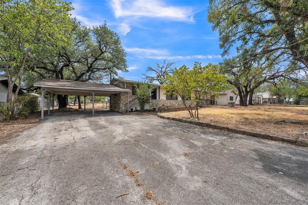
 Active
Glen Rose, TX
305 Walker Street
$149,000- 2 beds
- 2 baths
- 1,360 sq ft
- 0.502 acres
Listed by: Erica Lawrence from Keller Williams Fort Worth
Somervell County is the Glen Rose-centered county around the Paluxy and Brazos river setting. The city, recreation destinations and surrounding private land are separate geographies; compare them without assuming shared services or access rights.
Live MLS results matched by county. Listing addresses do not establish municipal limits or school attendance boundaries.
ActiveGlen Rose, TX
Listed by: Erica Lawrence from Keller Williams Fort Worth
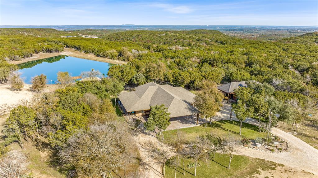 Active
Glen Rose, TX
Listed by: Timothy Mcginty from Clayton-waggoner Properties
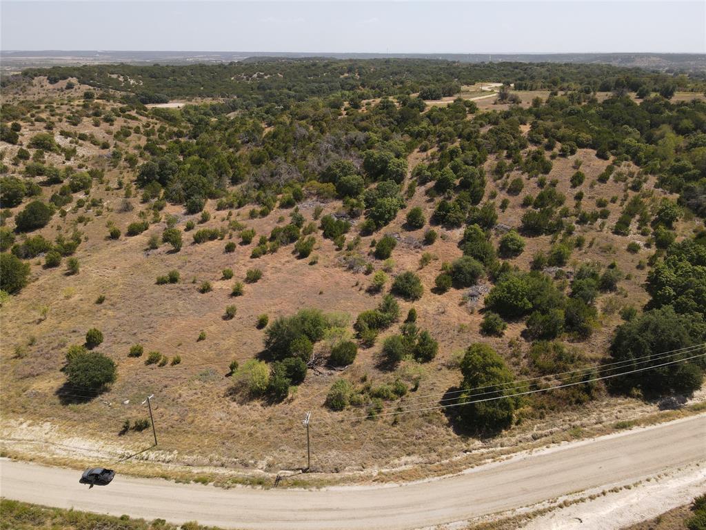 Active
Glen Rose, TX
Listed by: Chad Langen from Black Dog Realty Group, Llc
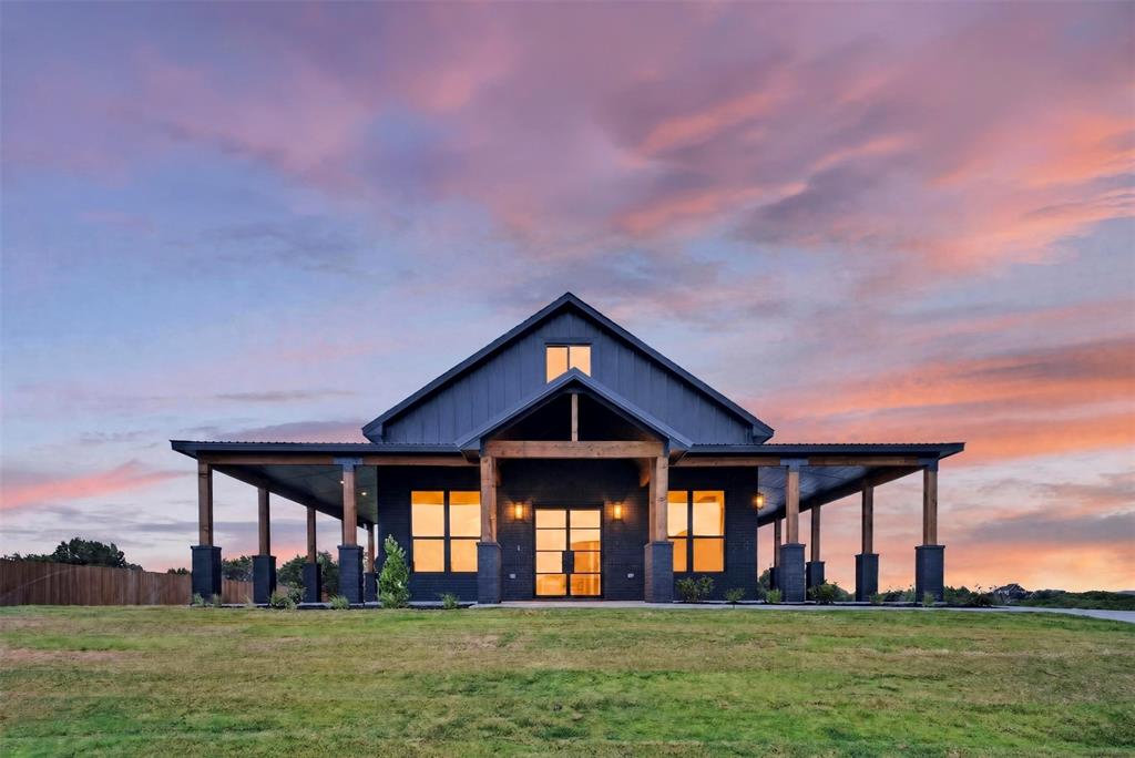 Active
Nemo, TX
Listed by: Bailey Groves from Texas Real Estate Twins
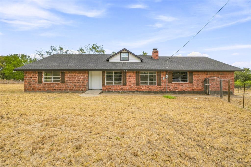 Active
Nemo, TX
Listed by: Austin Jordan from Keller Williams Brazos West
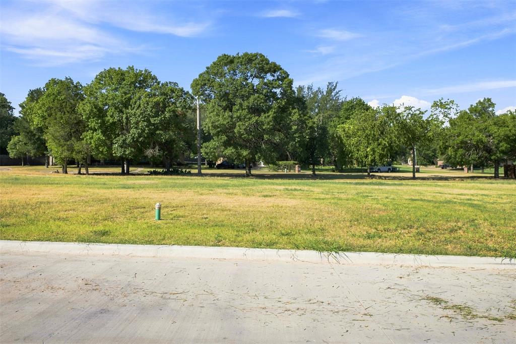 Active
Glen Rose, TX
Listed by: Crystal Brown from Texas Legacy Realty

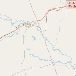
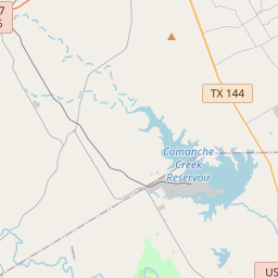
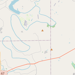
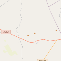
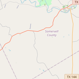
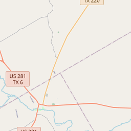
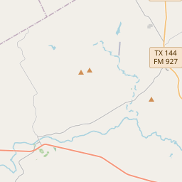
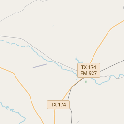

Somervell County data covers the whole county, not just Glen Rose. Municipal limits, school districts and utility territories require separate checks.
Map data © OpenStreetMap contributors. Boundary data and FEMA results are cached for this guide; reviewed September 16, 2026.
Somervell County data covers the whole county, not just Glen Rose. Municipal limits, school districts and utility territories require separate checks.
This guide does not publish school rankings, safety claims, invented commute times or static listing prices.
Source: Census TIGERweb county boundary ↗April 1, 2020 decennial Census count for Somervell County as a whole. This is a dated count, not a current estimate.
Source: U.S. Census Bureau, 2020 Census ↗Somervell County data covers the whole county, not just Glen Rose. Municipal limits, school districts and utility territories require separate checks.
Source: Census TIGERweb county boundary ↗Named districts provide local context, not guaranteed attendance. The Comptroller lists taxing units; verify the actual campus and enrollment boundary with the district.
Source: Texas Comptroller, Somervell County taxing units ↗These routes orient the search. Check current road conditions, legal property access and the trip at the time you expect to travel.
Source: TxDOT statewide planning map ↗NWS Fort Worth 1991–2020 normals provide regional context, not a forecast for one property.
Source: National Weather Service ↗Air quality changes by place and date. This guide links AirNow instead of freezing one AQI number.
Source: AirNow ↗Use municipal sources for in-city services, lots and business-use questions.
Read the flood panel, topography and lawful access before relying on a river-frontage description.
Water, septic, roads and restrictions need their own review outside the city.
A nearby attraction does not establish an approved short-term rental or commercial use.
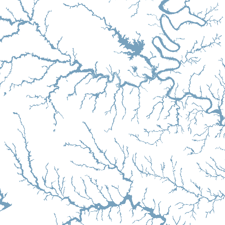
The map shows cached FEMA National Flood Hazard Layer polygons for orientation. Coverage varies; unshaded land is not a determination of low flood risk. Confirm the parcel, effective panel, insurance implications, drainage and any site-specific study during due diligence.
Open FEMA Map Service Center ↗About the NFHL ↗The USGS monitoring location provides a current river-data reference, not a flood determination for nearby homes or land.
Open source ↗Start with the named authority, then confirm the parcel and its current jurisdiction.
Open source ↗Taxing-unit names help locate the relevant authorities; they do not determine a campus assignment.
Open source ↗Sources and copy reviewed September 16, 2026. Recheck boundaries, school information and public data before production launch.
Somervell County is the broader comparison layer. Open Glen Rose for a narrower city-name search, then verify the individual property.
Listings matched to the MLS county field for Somervell County. The preview shows a limited set; the full-results link preserves the same area filter.
This page covers the entire county. The city guide uses its own municipal boundary and city-name listing search.
Somervell County is the Glen Rose-centered county around the Paluxy and Brazos river setting. The city, recreation destinations and surrounding private land are separate geographies; compare them without assuming shared services or access rights.
Use the exact parcel and address with the relevant district, municipality and utility provider. A city name, ZIP code or nearby campus does not confirm service or attendance.
No. The cached FEMA layer is an early orientation aid. Check the effective flood panel, drainage, survey and any recorded access or shoreline authority for the individual property.
First-hand reviews from clients Stephen has represented.
Stephen has represented both myself and my family as both a buyer’s agent and seller’s agent on numerous real estate transactions. He goes above and beyond what is required…
0102
Share the address, property type, timing and the question the map or listing cannot answer.